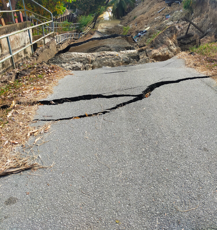
When Ecohydrologist Allison Pearce does a site analysis, questions pop into her head at lightning speed. What sort of ecosystems or communities surround the site? What are the different land uses? Development possibilities? Constraints? What is the topography of the property? Is there surface or groundwater? Have they had issues with water quality? Have there been incidents of flooding?
In her years working for Jamaica’s Water Resources Authority and National Environment and Planning Agency (NEPA) before joining Smith Warner International this summer, Allison studied how human activities have affected the nation’s watersheds and aquifers. “We are studying how coastal water quality has changed,” she explains. “We can answer the question: Is there a relationship between changes in coastal wetlands and water quality and what role does land use play? As agriculture expands, are wetlands shrinking as farmlands encroach on them? Or is it residential development? And do we see a correlation?”
A View from All Angles
Answering these many questions is accomplished most effectively and accurately by assessing the situation from multiple angles. In her work at Smith Warner, Allison is incorporating remote sensing – overhead images taken from from a drone, plane, or satellite – into her analyses. With this type of data, scientists and engineers can compare “snapshots” of the physical characteristics of an area to see how seascapes and landscapes have evolved over time.
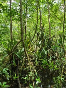
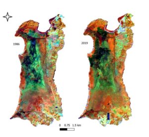
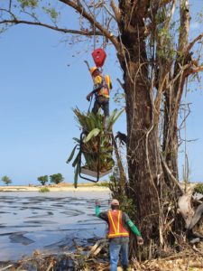 At the Princess Resort in Green Island, Hanover, Smith Warner International is doing extensive work ranging from the environmental impact assessment to a sitewide drainage plan to the design of the beach and shoreline protection. Allison is working on transplantation of vegetation for their conservation and will use remotely-sensed images to monitor the progress of mangrove rehabilitation there. “We’ll be able to evaluate progression via monitoring wetland conditions and forest density using remote sensing (spectral) indices at the steps of every three or so years,” she describes. Remotely-sensed images also provide the advantage of visualization, which is important in communicating with your audience. “When you can highlight, for example, water features, urban areas and forest loss, and water quality impacts, grassroot stakeholders are better able to conceptualize the big picture and thereby buy into sustainability endeavours, regardless of their background and exposure to the issue at hand.”
Remote Sensing
Estimating the amount of chlorophyll-a in a marine environment is one of the most prominent applications of remote sensing. Plants and algae use chlorophyll-a for photosynthesis, so high levels of the pigment lead to strong growth of algae. Allison is hoping to track sargassum growth and turbidity, both of which can be problematic for marine species as well as for tourism, using remotely-sensed images.
A technique Allison employs in her work is the interpretation of spectral indices, which helps her to visualise how plants are absorbing and reflecting solar radiation. She compares different combinations of the visual, near infrared and thermal bands, which are the measures of the wavelengths that the vegetation reflects. Healthy vegetation, for example, reflects more green light compared to other wavelengths in the spectrum. With this information, Allison can track the extent of the growth or decline of coastal vegetation over time. This data analysis augments the information that generally resides in maps and tables. All together, the goal is to look at change over time, how ecosystems are performing, and how we as engineers and scientists can help to protect our watersheds, wetlands, and coasts.
A false colour band composite used to distinguish
wetland areas from built- up and agriculture ones.