Getting There
Getting around the remote Bahamian archipelago of Andros isn’t easy. Flights from Nassau, just 77 kilometers (48 miles) away or from Fort Lauderdale, Florida (an hour away by plane) land on an air strip cut into the mangroves on the southernmost island of South Andros. But that’s just the beginning.
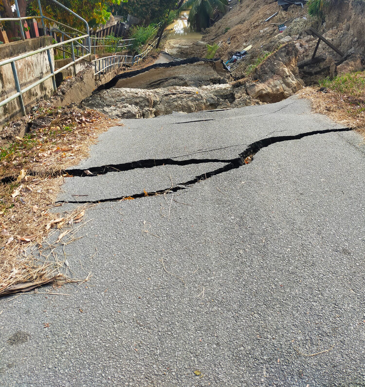
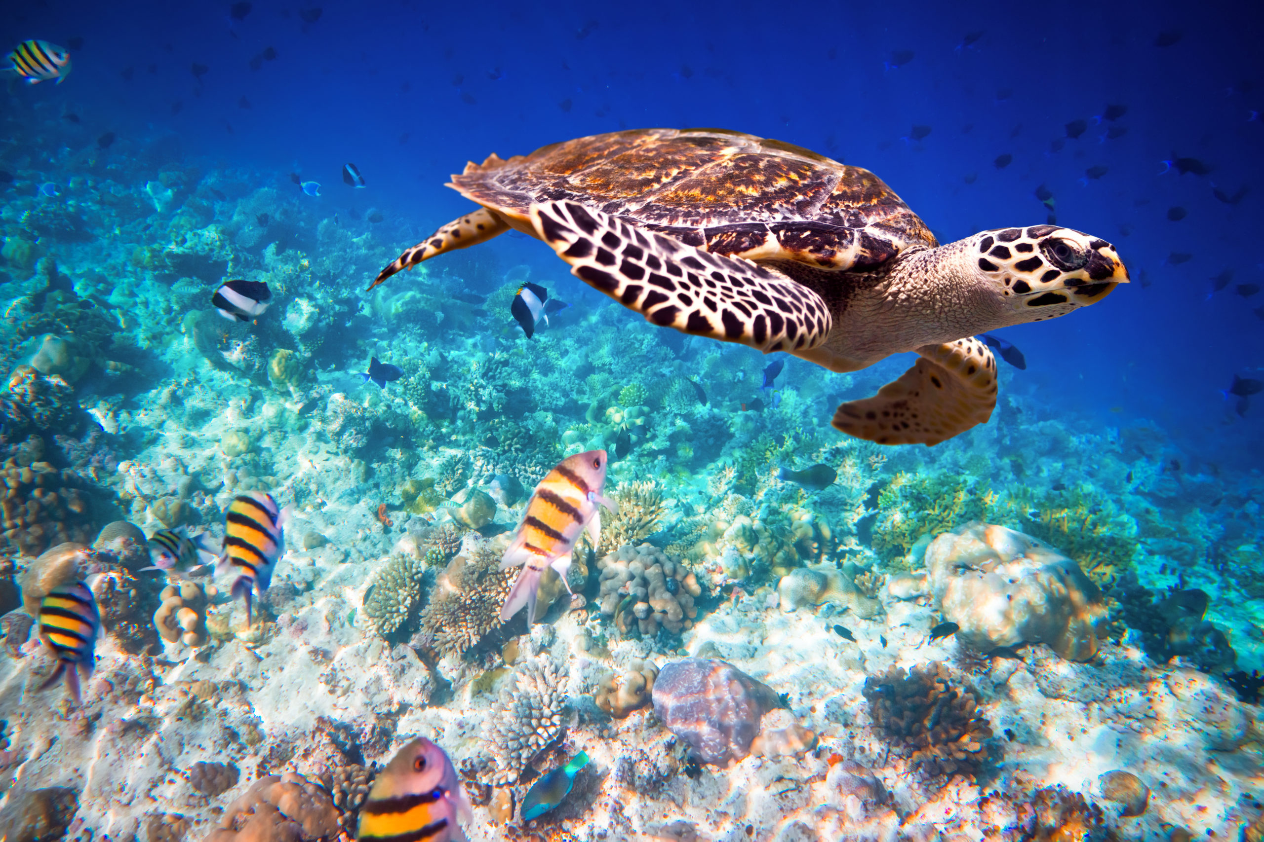
Home to the third largest barrier reef in the world, Andros is a chain of small islets and keys that together comprise the biggest of the Bahamian islands. Yet there’s no way to start on one end of the “island” and drive to the other. The lack of connectivity is a major issue when it comes to emergency preparedness and management, especially since Andros is extremely low-lying. “In a perfect, ideal situation, you could try to connect the islands through a highway, raise the road, and build clinics or shelters on higher ground,” explains Danielle Dowding-Gooden, Coastal and Environmental Engineer and Manager of Consultancy Projects at Smith Warner International. But there is no higher ground and the cost of creating it would be prohibitive and potentially damaging to the environment. “You’d need fill material and so much more,” Danielle continues. Because so much of the islands consists of sandbars and mangroves, the only way to develop more would be to clear mangroves, which provide important coastal protection and a habitat for hundreds of marine species.
These conflicting scenarios are but one of the reasons the Government of The Bahamas engaged Smith Warner International to conduct “Baseline Studies for Hazard Resilience of Natural Infrastructure in Andros”, one component of a larger “Climate-Resilient Coastal Management and Infrastructure Program”, financed in part by the Inter-American Development Bank. The primary objective of “Baseline Studies” is to enhance the resilience of Bahamian communities and reduce climate-related impacts through the implementation of pilot projects on Andros.
The far-reaching goal is to demonstrate the effectiveness of natural habitat restoration for protection against coastal hazards. “We need to start quantifying the ecosystems they have. There are a number of ecosystems that are very valuable, not just mangroves but birds,” Danielle adds. “A big part of what we’re doing is valuation and answering questions such as what’s the health of the reefs and the health of the mangroves?”
A Trio of Analyses
 The initial assessment comprises three parts: hazard analysis, vulnerability analysis, and risk analysis. While these terms at times are used interchangeably, they’re actually quite unique. The hazard analysis seeks to determine and understand the threats to the island including sea level rise, storm surge and coastal flooding, coastal erosion, and drought. The vulnerability analysis includes an assessment of the terrain and the population’s exposure to these hazards and their ability to adapt and recover. This will take into account the limited infrastructure such as roads, bridges, and marinas as well as education levels and sustainable food supply. Risk analysis then attempts to quantify the potential threats of the hazards to the vulnerable community and land.
A recurring problem for most Small Island Developing States is the lack of resources to conduct these analyses. Danielle explains, “One of the main issues the Government of The Bahamas has is that they don’t have enough data so they can’t pinpoint changes such as areas of their shoreline that are eroding or accreting.” Smith Warner International engineers are now reviewing existing bathymetric data, meteorological data, and biophysical surveys to understand the ecosystems on Andros and to create maps of species distribution as well as the cultural and socio-economic history.
 Goals
Goals
One of the goals of this work is to collect more data on the mangrove forest zones including tree heights, the diameter of the mangroves at breast height, the crown expanse, seedling density, and salinity of the water in all standing bodies within the study area. Engineers will note visible hydrological features such as tidal or over-wash areas, drainage points, culverts, and anywhere the flow of water is restricted.
In conducting “Baseline Studies”, Smith Warner’s team will analyse the data and incorporate it into numerical models. With a focus on natural infrastructure, engineers will present recommendations for pilot projects to help accomplish the coastal management and protection goals. For solutions to be successful, the community must be involved and accepting of the projects. The work it takes to confidently develop the concepts to be reviewed by stakeholders is complicated and time-intensive, but a crucially important step in “Getting There” to a more resilient and less vulnerable future.